Urban Wilds: West Roxbury
The Urban Wilds Initiative seeks to protect the city's publicly-owned urban wilds and thereby ensure access and enjoyment of natural treasures to present and future Boston residents.
Allandale Woods
OWNERSHIP
Parks and Recreation Department, Conservation Commission, and private lands subject to City-administered conservation restrictions
NEIGHBORHOOD
Jamaica Plain and West Roxbury
SIZE
Protected: 86 acres; unprotected or currently altered: over 15 acres
Description
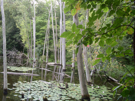
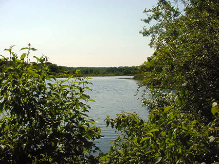
As Boston's second largest unfragmented woodland, Allandale Woods is a crucial component of the City's natural areas inventory. Allandale Woods is located west of Arnold Arboretum on the Jamaica Plain and West Roxbury line and is bordered roughly by Allandale Street, Centre Street, the VFW Parkway, and Hackensack Road. The acquisition of a portion of the conservation land at Allandale Woods in 1975 represented the first step in creating the Charles-to-Charles Open Space Corridor, an 8-mile open space belt of existing parkland, private estates, and wetlands that stretches from the Fens and the Charles River Basin, along the Boston and Brookline boundary, and through the Sawmill marshes to the Charles River in West Roxbury. Composed primarily of oaks, maples, and pines, Allandale Woods is one of the few relatively pristine secondary growth oak-hickory forests in the city of Boston. Trails, recently rehabilitated in 2009 in partnership with summer youth conservation crews from Boston Natural Areas Network and Student Conservation Association, run throughout the site leading to various areas of interest including scenic Rock Pond, an extensive Depression-era stone boundary wall, a cattail marsh, intertwining streams that form the Bussey Brook headwaters, underground springs, an historic spring house, and a certified vernal pool.
Dump Shoreline (part of Millenium Park)
Description
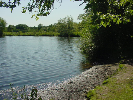
As its name indicates, Dump Shoreline Urban Wild spans the eastern flank of the now capped Gardner Street Landfill or Millenium Park. The site was utilized as a dumping ground for organic materials generated by the Parks and Recreation Department. Thus, although the area originally must have hosted a silver maple floodplain forest, the filled land now consists of an increasing number of woody plants. Located along the banks of the Charles River, this urban wild has been partially restored and incorporated into the new Millenium Park. During construction of Millenium Park, some debris was cleared from the site and a stonedust trail was established along the water's edge. The majority of the new Millenium Park is covered with grasses and sparse woody vegetation; however, the urban wild area provides a glimpse of the habitat that once stretched all the way across the landfill to the DCR's Brook Farm. Although the habitat of the urban wild has been significantly altered by past dumping, restoration projects can be undertaken to re-establish the wetland habitat. The urban wild also hosts a canoe launch into the Charles River. Because this urban wild is located near the West Roxbury High School, environmental education opportunities abound. Plans for the urban wild include the creation of interpretive signage to highlight the history and ecology of the area.
Dunbarton Woods
Ownership
Boston Conservation Commission (transferred from Neighborhood Development)
Neighborhood
Size
.66 acre (11 parcels plus ½ street right-of-way)
Description
Undisturbed upland forest habitat comprised of native hardwood trees, wildflowers, and rock outcroppings. Important less in its size or habitat types, but more in its proximity of other nearby open spaces such as Grove Street Cemetery and Stony Brook State Reservation. In this sense, the area serves as a wildlife corridor. Access is available via Dunbarton Road. The adjacent Cheriton Grove Corporation and the City entered into a maintenance agreement as part of this land acquisition.
Rivermoor
Description
Rivermoor Urban Wild is a narrow parcel of floodplain marsh along the Charles River. This city-owned urban wild is contiguous with other riverside parcels owned by the Army Corp of Engineers and the DCR. Together, these areas form a riparian buffer between the Charles River and industries to the north. Because the industries were built on filled land, a steep embankment sloping down from Rivermor Street forms the northern boundary of the parcels.
West Roxbury High School
Description
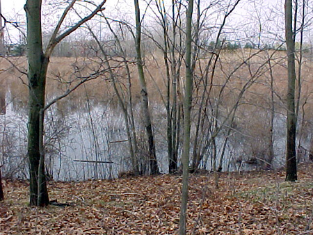
The West Roxbury High School Urban Wild is a beautiful emergent cattail marsh ringed by red maples, aspen, and pine oaks. Situated in a manmade basin, the marsh is bordered by the West Roxbury High School to the northwest and the VFW Parkway to the southeast. A spillway and pond linking Sawmill Brook to the marsh are tucked between the high school and Saint Joseph's Cemetery. The West Roxbury High School is strategically situated adjacent to this large marsh area, thus providing excellent opportunities for environmental education and research. In fact, when the school proposal was first made, the possibilities for wetland education were highlighted as one of the primary benefits of this location. Furthermore, because this urban wild is located adjacent to other substantial natural areas, namely Millenium Park and Brook Farm, the site provides all Boston residents with an excellent opportunity for expanded passive recreation.


